

Day 12 Saturday 20/5/2023 Orange to Coolah, -1 to 15.5
It’s so cold this morning that my breath is steaming in our bathroom.
Etched into the caravan park toilet door and painted over many, many times is: “Leah and Danielle from Woy Woy NSW 1968”. Those two are probably on the aged pension by now or Zimmer frames.
Oh hell, we must be more concise with our directions because this morning we’re on the Mitchell Highway, and VeeWee and Mrs. Have a Chat are somewhere on the Burrendong Way. We eventually catch each other at Mullion Creek wherever that is.
The GPS seems to prefer showing the names of non-existent towns and not the large ones. Euchareena is little more than a couple of tumbledown sheds and an old house. Stuart Town appears to be struggling sheep country. The potholes have been bad but at last, the road improves. We pass through Mumbil and Dripstone and three more dead foxes are turning to leather on the road. We have a pit stop at Wellington. We’ve never seen so many dead foxes and so few dead kangaroos than on this trip. In fact, we still haven’t seen a live kangaroo or emu. Let’s hope our first encounter isn’t wrapped around the front end.
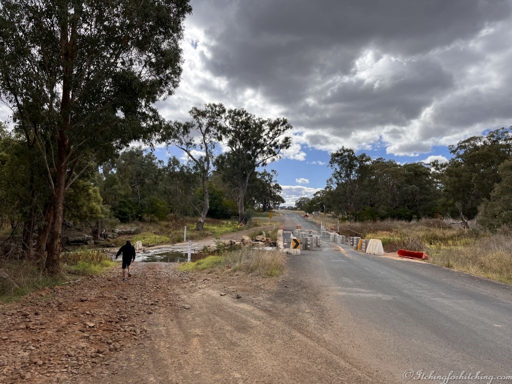
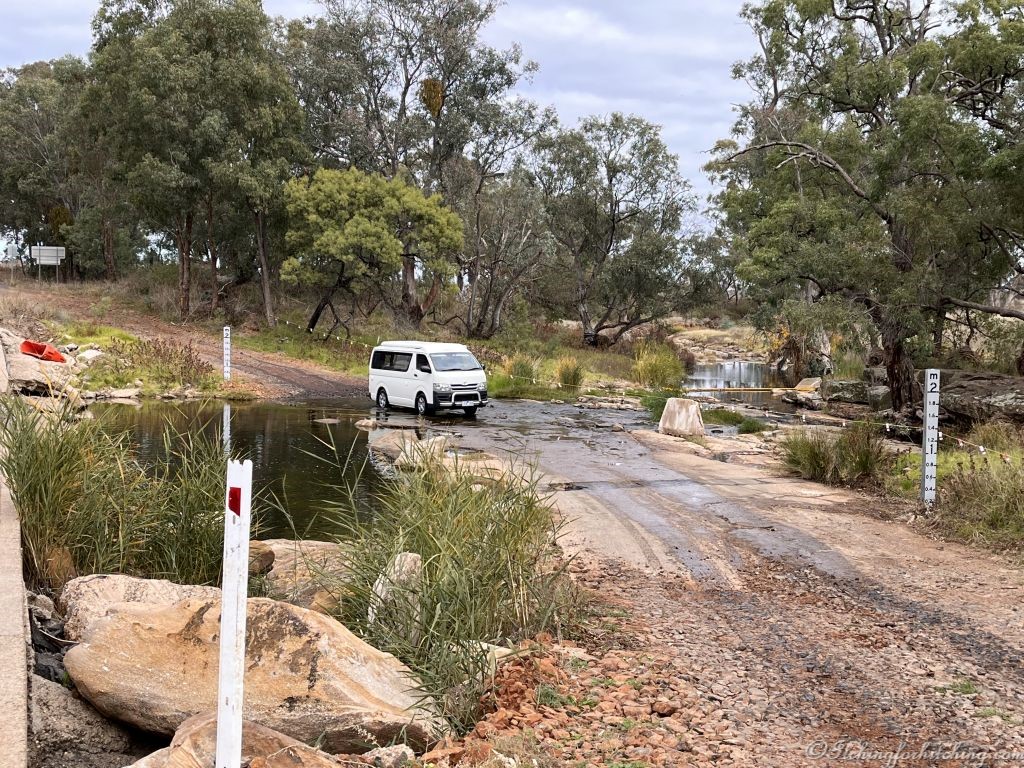
I ring the caravan park manager at Coolah to book our sites and she tells me that one of the roads to Dunedoo was closed a few days ago. The GPS sends us in the direction of Gulgong so we take VeeWee’s GPS advice which heads us to Dubbo. We pass a closed road. Another turn or two and all the GPS’ agree that we’re on the right road. Although not the best it is busy with local traffic and trucks. After about 20kms we come to a washed-out bridge. And with nowhere to turn the caravan around without great difficulty. We walk the damaged bridge, it has concrete bollards to stop traffic and we can see that it’s littered with metal from vehicles that have been too wide to cross. We watch how the locals are crossing the creek in their farm utes. Now it’s our turn. We all get thru ok. Our GPS, whose new name I now won’t repeat, wants to turn down a meandering back road. We manage to turn back onto the ‘closed’ road and she tries to send us up some poor farmers’ driveway. Wendy of Thisadventurousage.com…….you were right about this GPS! Once more she tries to send us the wrong way and at last, we reach Dunedoo. 1 dead goat, 1 very ugly dead pig, and 4 stressed travellers.
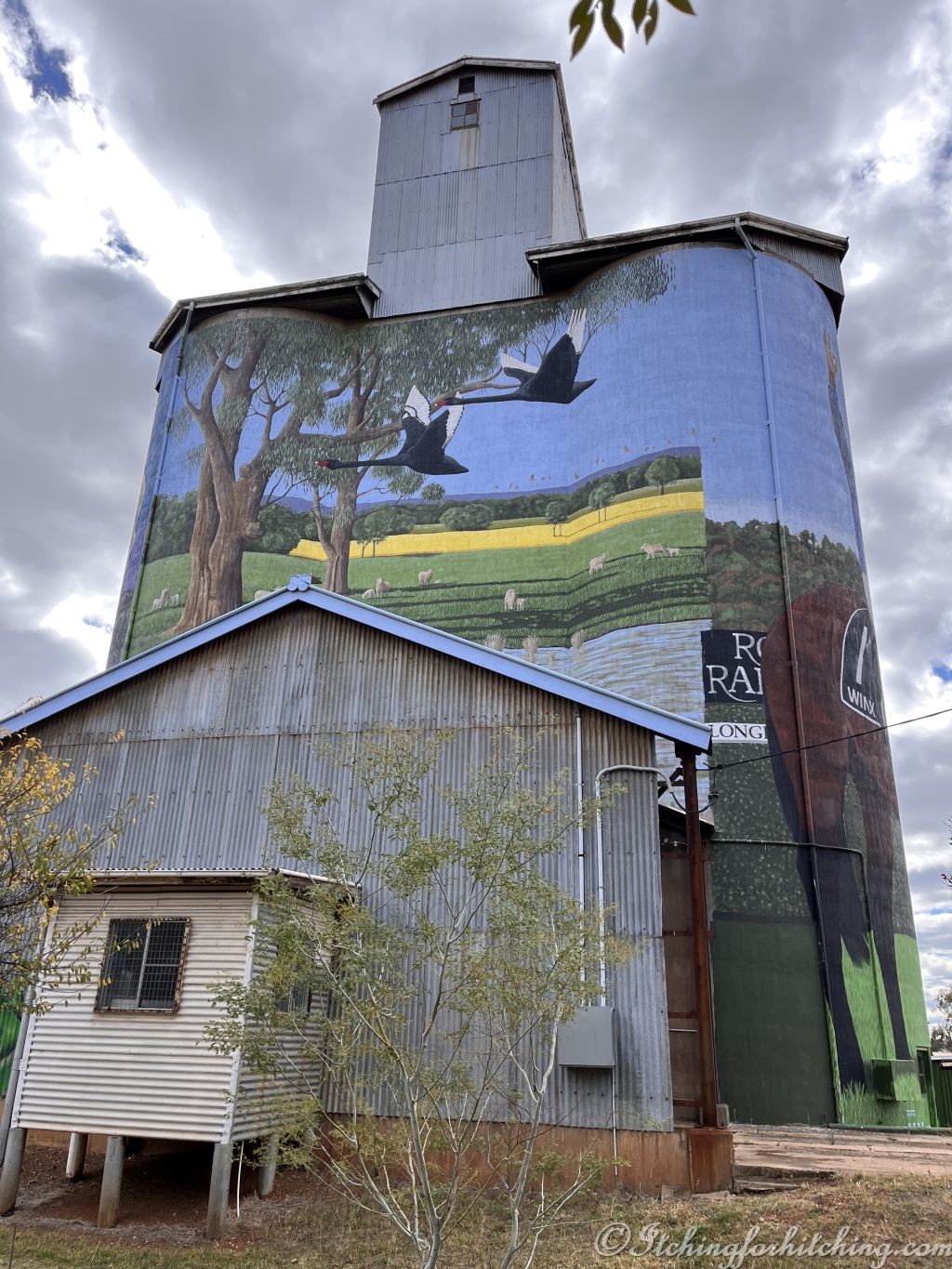
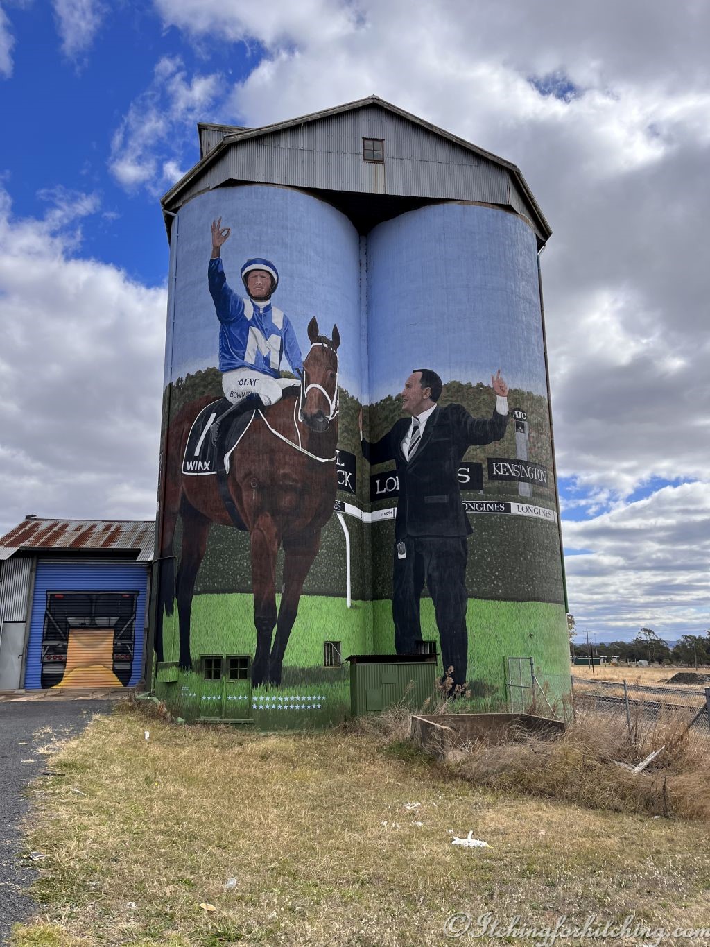
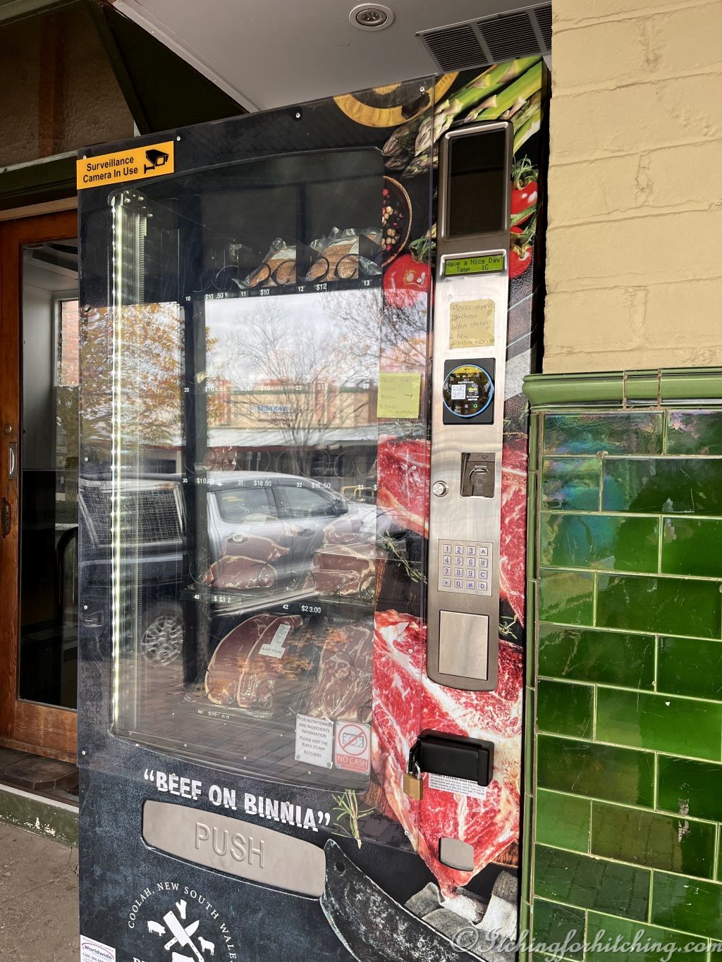
A warming pie from the Dunedoo Pie Shop under the painted silos and we unwind. The murals honour local champion racehorse Winx and black swans. A chill wind blows. Elle rings, she’s picked up the new motor home which is now called Betty.
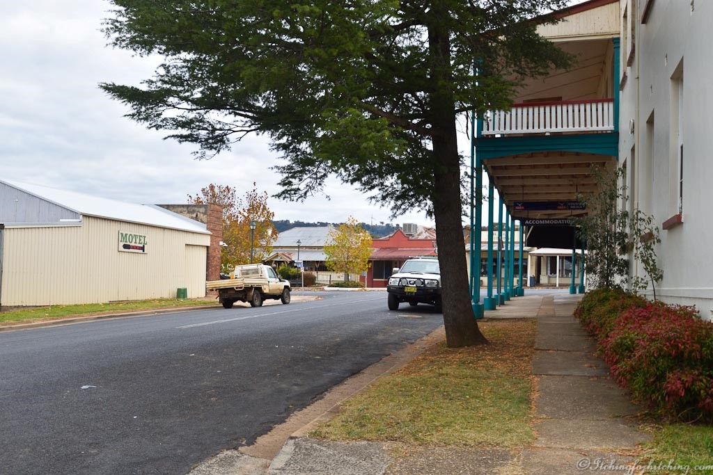
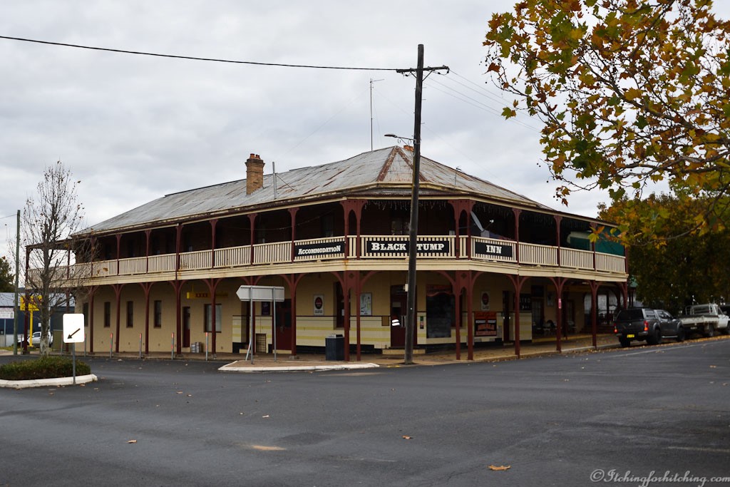
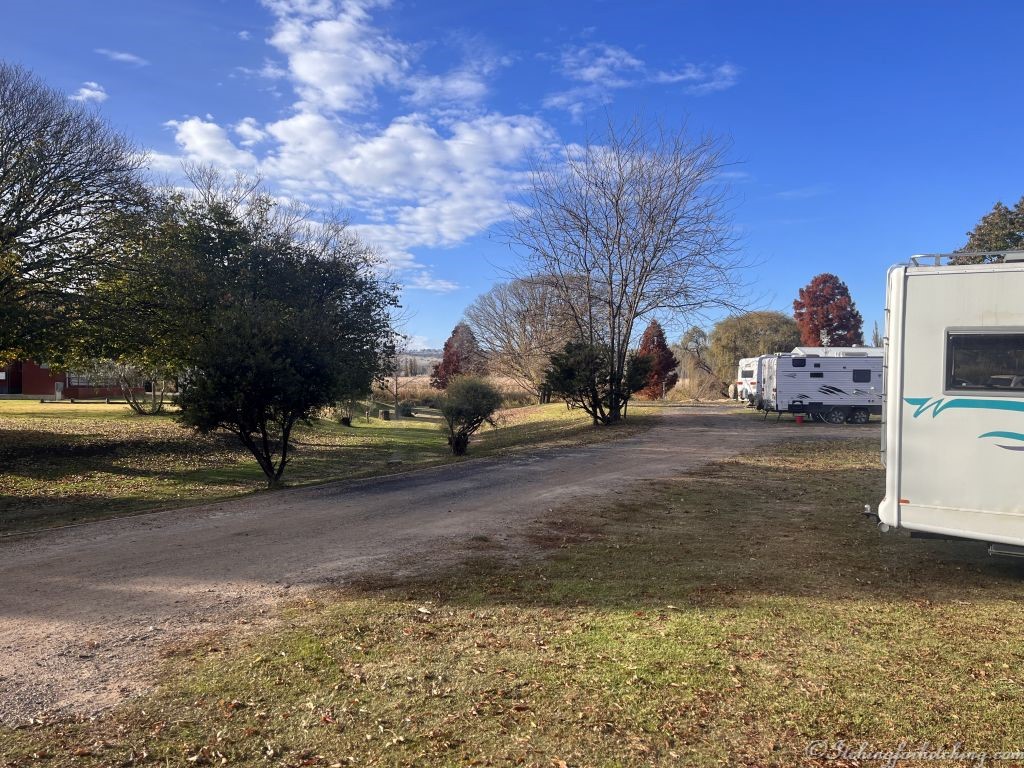
It’s a pretty drive up the Coolah Valley on this last leg, there are unusual rocky outcrops. As we arrive Allison the manager of Coolah Caravan Park is furiously raking autumn leaves from our site. We’re only a block back from town which being Saturday afternoon is dead quiet and the only busy place is the ‘top’ pub. The population here is approx. 1300 but the valley is about to undergo massive changes as a new energy project is in development. 148 wind turbines will be installed in the Coolah Valley 5kms south of the town, with the aim to supply enough power for 445,000 homes.
We settle into the cosy camp kitchen to cook dinner but we’re quickly despatched by a very noisy family the parents of whom seem to be under the influence of something illicit and uplifting.
Note on the camp kitchen oven….”Out of order since the floods”.
Accom: $35.00
Towing Kms: 244kms
Bong Bong Road
Note: It wasn’t until I was looking at the photos afterward that I noticed a sign on a tree by the creek “Farm Machinery Only”
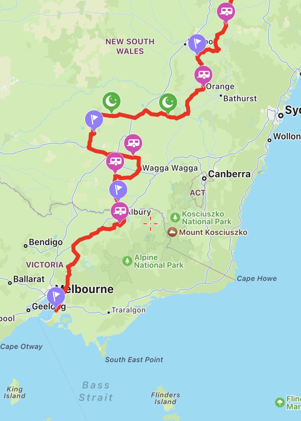
(Map Source: WikiCamps)

I’m sure no-one would paint over the murals – it is a shame that Leah and Danielle’s note has to be.
LikeLike
A slice of history isn’t it.
LikeLiked by 1 person
Indeed
LikeLiked by 1 person
Never, ever, throw out your paper maps – and pray they don’t stop making them! The inbuilt GPS of my 2020 model car can’t even find our way home from the supermarket 5kms away!
LikeLike
They must be a nightmare for folks with no sense of direction.
LikeLike