

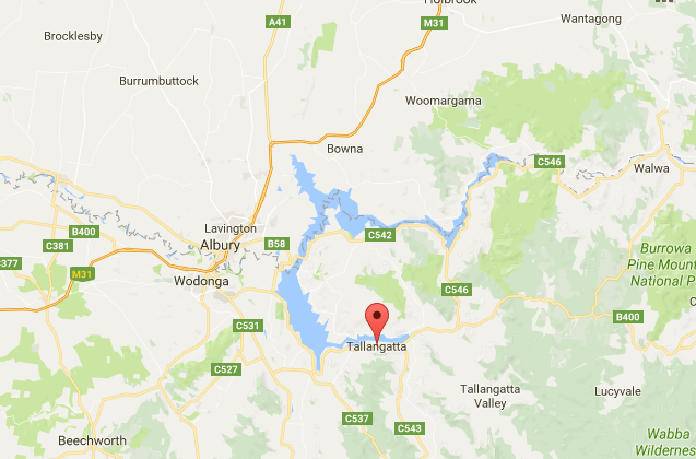
The Murray River was dammed near Albury Wodonga in 1936 to form what is now known as Lake Hume. In the 1950’s the dam was enlarged and the dairying town of Tallangatta was moved to higher ground 8kms west to enable the flooding of the Mitta Mitta River arm.
According to Wikipedia, Lake Hume storage is the equivalent of six times that of Sydney Harbour.
I recall camping in Tallangatta not long after the new town had been built when there was still much excitement about the whole project. Recently we camped in the Lakeland Caravan Park on the shores of the lake. The town these days has a charming park which when we visited was busy with young mums and toddlers enjoying the sun. There is still a row of ‘fifties’ style shops but the place now has a feel of permanence that comes with time and putting roots down. Further up the valley the remains of ‘Old Tallangatta’ can be seen as the lake is lower at present.
For more information and photos of Old Tallangatta prior to the flooding visit Culture Victoria at:
http://www.cv.vic.gov.au/stories/a-diverse-state/tallangatta/tallangatta-the-town-that-moved/


This is such a great area. Interesting to pass through …
LikeLike
North East Vic is one of my favourites.
LikeLiked by 1 person
Yes, mine too, and well travelled with our daughter up that way.
LikeLiked by 1 person